Phillip Edward Island is well worth a visit

By Rear Commodore David Spencer (All photos by David Spencer unless otherwise noted.)
Philip Edward Island is a large wedge-shaped island in the northwest corner of Georgian Bay
stretching 10½ nautical miles east to west and 2¾ nautical miles north to south at its widest point. While the name may not be well known, it’s familiar territory to those who’ve cruised through Beaverstone Bay (GB-49.1), Mill Lake (GB-50) and Collins Inlet just east of Killarney (GB-52).
The water to the north and east of Philip Edward Island is well-sounded, well-protected from all winds and readily navigable by any competent cruiser. However, the south shore is forbidding but rewarding for those who make the effort to uncover the charms of its rugged, rock strewn, unsounded coves.
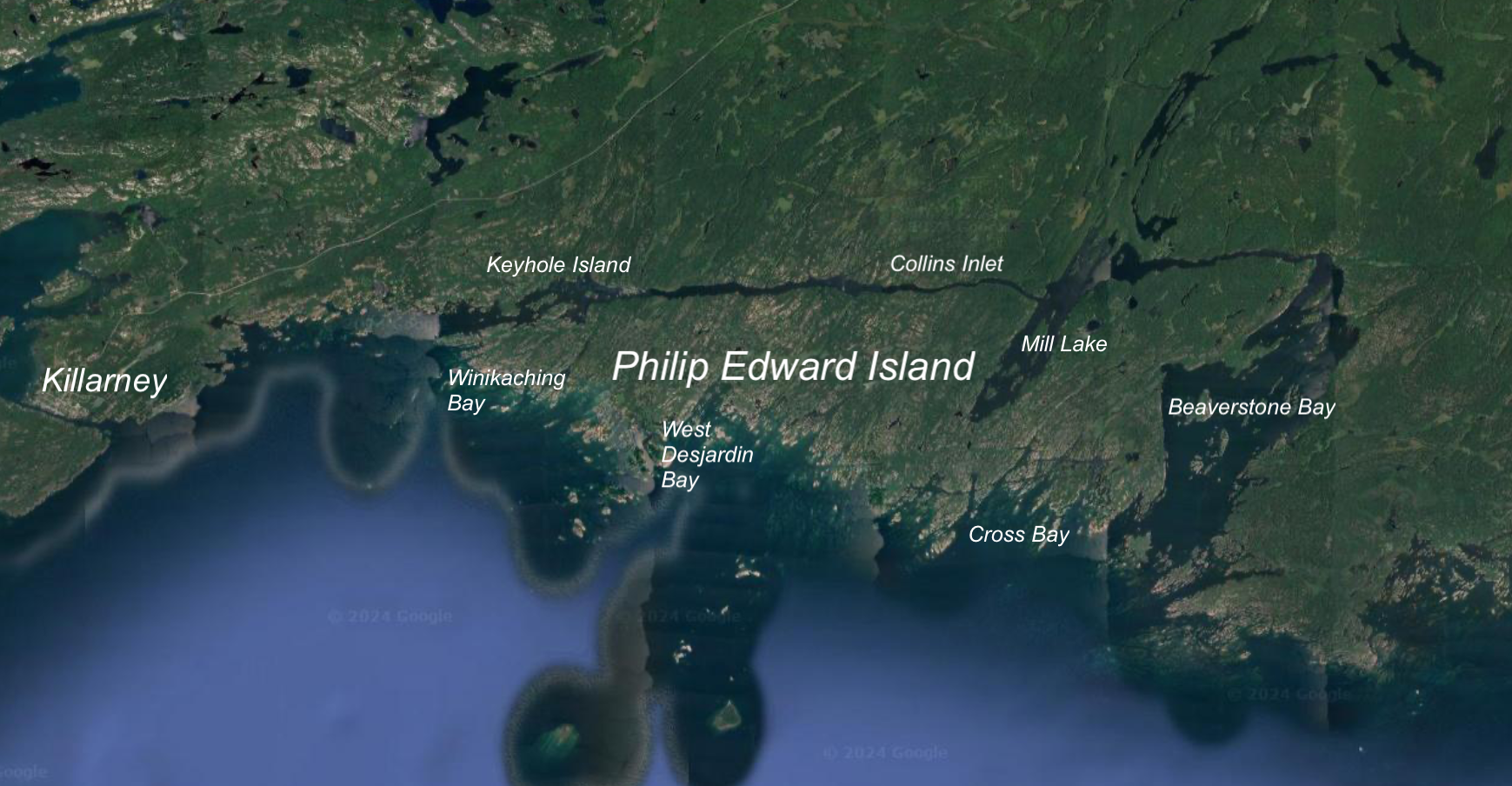
You are more likely to encounter kayakers and canoeists than other cruising boats along the south shore. A popular route for paddlers is to circumnavigate the island camping wherever they see fit having launched their craft at the Chikanishing River access point in Killarney Provincial Park along the north shore of Collins Inlet.
Beaverstone Bay
This exploration of Philip Edward Island starts at Beaverstone Bay (GB-49.1) on the east side of the island. If you’re approaching from the east, Beaverstone Bay is a welcome respite from the 16-mile open water run from the Bustard Islands (GB-44).
The shoreline and the islands of Beaverstone Bay are dotted with cottages; most of them modest, but nicely kept off-grid, water-accessible structures spaced well apart. Fishing is king for these cottagers, and cruisers are likely to be rewarded with dinner if they drop a line.
The area to the west of Burnt Island is the most popular anchorage with good holding, no cottages in view and decent protection from most winds. If the winds are unfavorable, anchorage can be found along the north shore of Burnt Island. Or you can move west about a quarter mile and snug up against the cliff face on the western shore of Beaverstone Bay.
Another fine anchorage is in the northeast corner of Beaverstone Bay behind either of the unnamed 56-foot or 77-foot-high islands.


A subject of keen interest to most boaters is the depth of the narrow, buoyed channel that connects Beaverstone Bay with Collins Inlet.
With the water at or above chart datum, you will probably have at least 6 feet of water through this passage. “Probably” isn’t a word that one likes to hear when talking about depths but this area has a soft bottom comprised of silt or weeds or both.
Because of the indistinct bottom, your depth sounder is likely to give you some heart stopping readings. We’ve been through this gap many times and had our depth sounder read as little as 2 feet against the 5-foot-9 draft of our previous boat with the water level below chart datum.
This is the only spot in Georgian Bay where we’re not concerned if we touch bottom. Stories of wild depth sounder readings abound but I’ve never heard of anyone hitting the ubiquitous Georgian Bay rock on the bottom as they make their way through this channel.
In low water years, the Canadian Coast Guard posts white and orange low water buoys at each end of the channel and those drawing 5 feet or more should proceed with caution. Lifetime Honorary GLCC Member Roy Eaton keeps track of reported depths in this area and can provide the best information during the Little Current Cruisers’ Net broadcast on VHF 71 every morning at 0900 in July and August. During the day, Roy can often be raised by hailing “Firebird” on VHF 16.
Collins Inlet
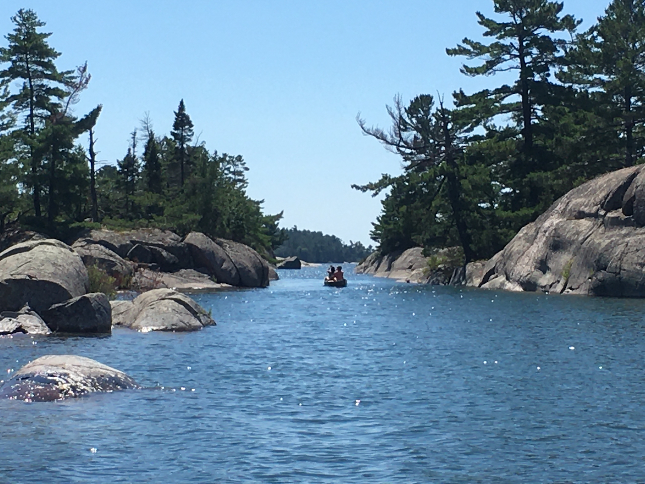
Once through the narrows, haul to port and get ready for 11 nautical miles of gorgeous cruising between Beaverstone Bay and the Flat Rock mark through Collins Inlet. The passage is narrowest and shallowest just west of Mill Lake but there is at least 8 feet at datum found in the middle of the channel.
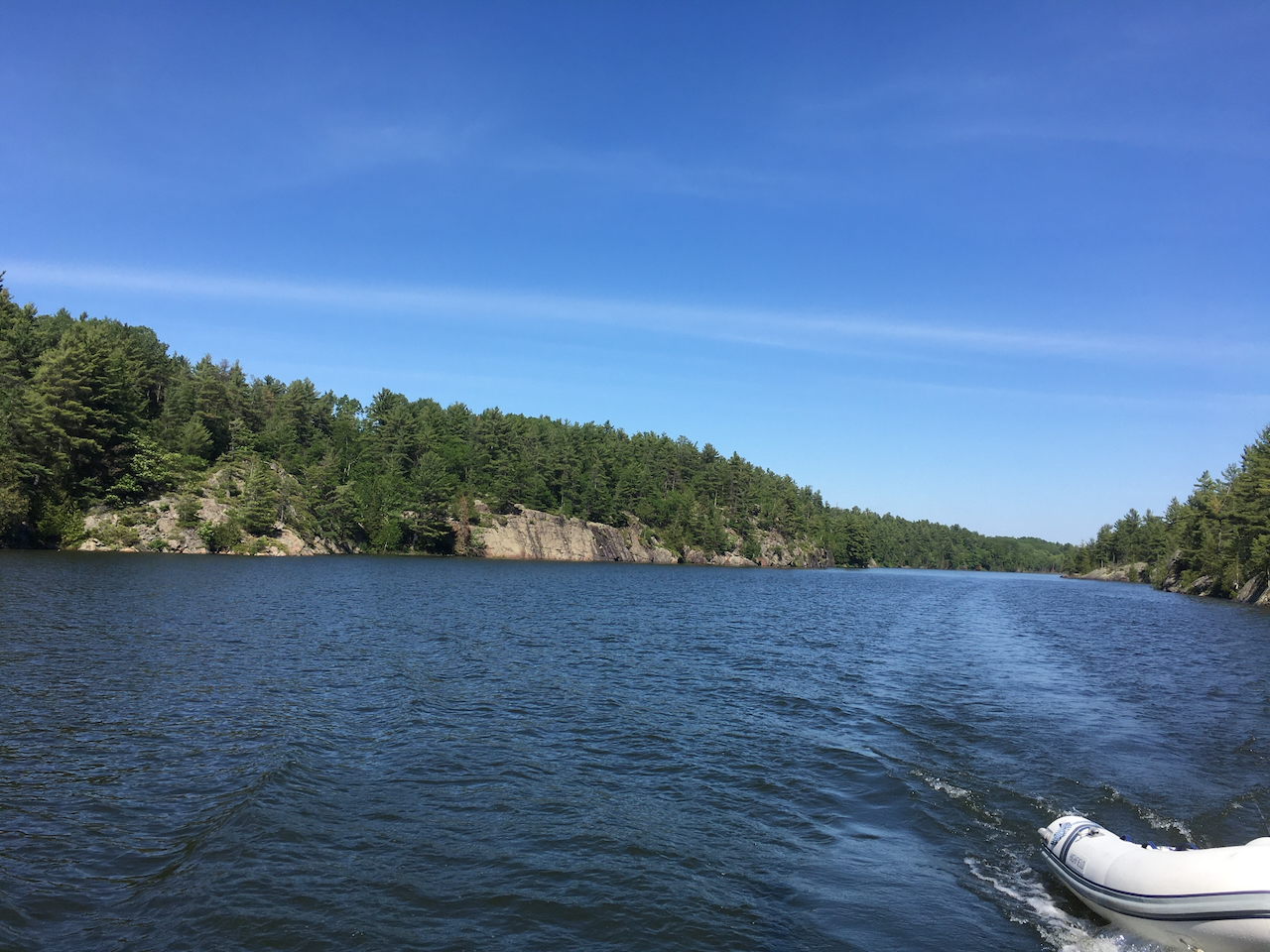
Everywhere else in Collins Inlet is deep and wide with no obstructions and no surprises allowing you to admire the scenery as you cruise past steep cliffs and wilderness at the recommended stately pace.
There are only a few buildings along the route, the largest being Mill Lake Lodge just east of Mill Lake.
You can anchor anywhere along Collins Inlet, but the most secure and protected anchorages are in the cove just west of Mill Lake Lodge, in Mill Lake (GB-50) south of Green Island away from the few cottages in this area or in the popular Keyhole Island (GB-50.5) area.

From Keyhole Island, services and civilization are only 5 nautical miles away at Killarney (GB-52). Follow the buoyed small craft route past the scenic Flat Rock mark and head across 3.5 nautical miles of open water to the equally attractive Red Rock Lighthouse marking the eastern entrance to the Killarney Channel.
The memorable passage through Beaverstone Bay and Collins Inlet can be enjoyed by any boat. You can’t control the weather, but a westbound passage in the morning or an eastbound passage in the afternoon will provide the best lighting for great views and wonderful pictures.
Thrill-seeking cruisers who are confident in their conning skills will be richly rewarded with the solitude and scenery of the unsounded anchorages along the south shore of Philip Edward Island. Harbour Reports GB-51 through to GB-51.7 cover this area. They offer a world of adventure. Pick a settled weather day and study these reports carefully before venturing south of Philip Edward Island.

The easiest unsounded anchorage to enter in this area is Cross Bay (GB-51) just west of the small craft route entrance to Beaverstone Bay. The instructions in GB-51 are clear, accurate and easy to follow. There is room for one or two boats to swing at anchor in solitude with expansive views of Georgian Bay. It’s also a great place to launch your dinghy or kayak to explore the surrounding islands.

A more difficult approach is found at West Desjardin Bay (GB-51.4). This anchorage was sounded by the great GLCC explorer Jim Wooll and is enjoyed by only a few adventurous cruisers each year. The approach guidance and anchorage advice in GB-51.4 are excellent.
We have anchored here several times and have particularly enjoyed dinghying through the maze of scenic islands and interesting rock formations to the southwest of the main anchorage.

For a real challenge, try getting into Winakaching Bay (GB-51.7). Lifetime Honorary GLCC member Ron Dwelle wrote GB-51.7 and has offered good guidance to get into this rarely visited anchorage. But the prudent cruiser would likely want to anchor at Keyhole Island and take a dinghy reconnaissance trip on a calm day to assess the route and see if that’s something they want to try.
The west end of Philip Edward Island is only 3.5 nautical miles east of Killarney. Many cruisers see Killarney as the eastern extremity of the North Channel and either head back west or make a beeline south toward their home port. It is a rewarding experience to extend your cruise east of Killarney and explore the variety offered by Philip Edward Island.